Tea on the Far Bank
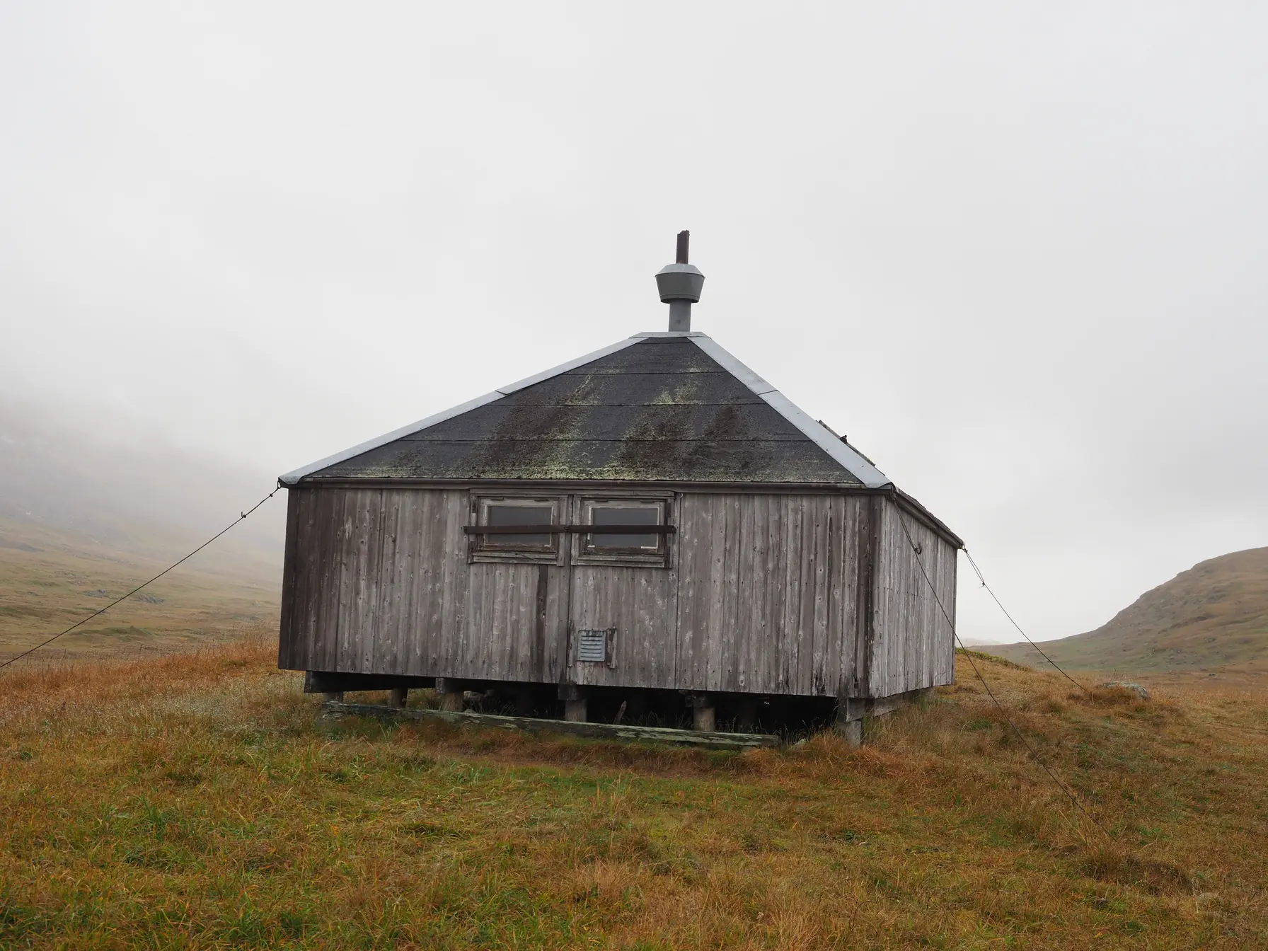
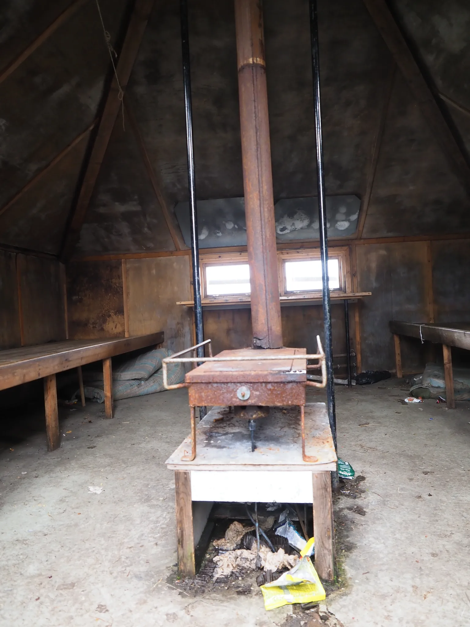
The weather held. After about three kilometers we came across an abandoned herders’ hut. The structure was intact, only the door was missing. In a pinch you could spend the night in it. A pity that the inside was wrecked and full of rubbish. The rubbish stood out, too. The Swedes care about tidiness and it is generally very clean here. No wrappers or used tissues, which litter Polish trails in great numbers.
The hut sheltered us from the wind perfectly, though. We fired up the stove and brewed tea for the thermos.
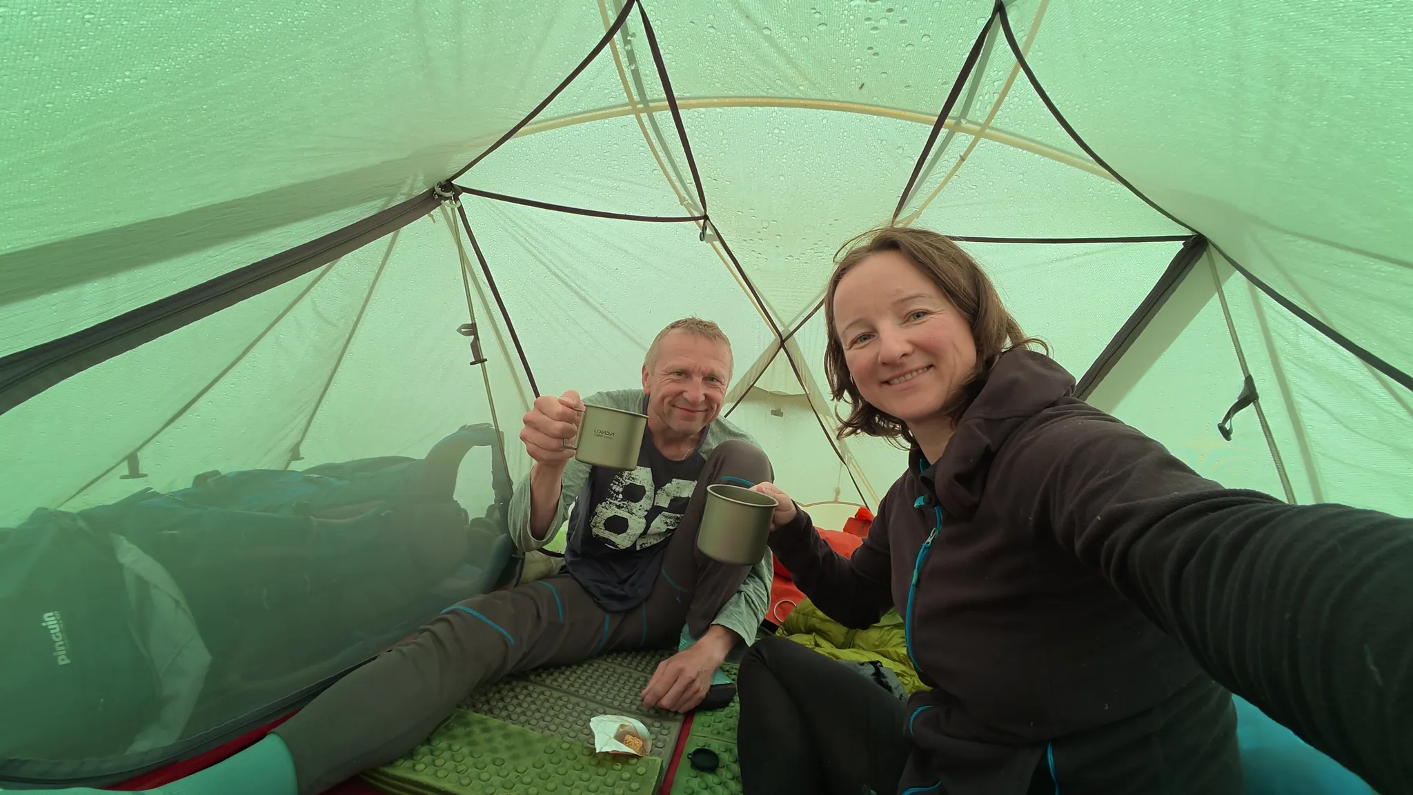
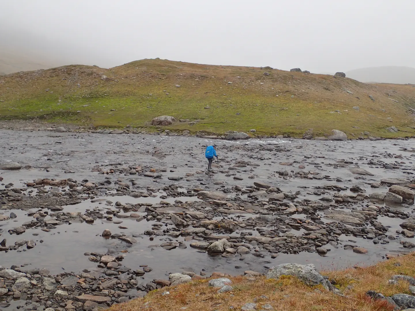
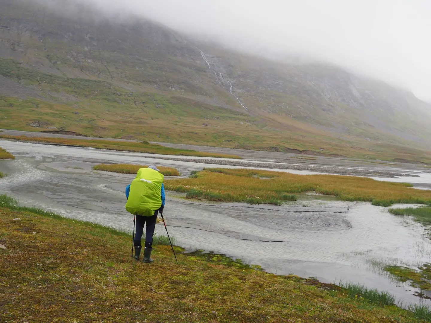
With a full thermos we moved on. Soon a glacial river cut across our path. Wide and definitely deeper than the earlier ones. We took off our rubber boots and pulled out the sandals we had brought for exactly such occasions. The bottom was strewn with small stones. The water reached roughly my knees. The crossing was neither dangerous nor difficult. The water, however, was icy. After a few seconds I could feel the cold driving into my shin bones, causing physical pain. On the far bank, the tea from the herders’ hut was just right.
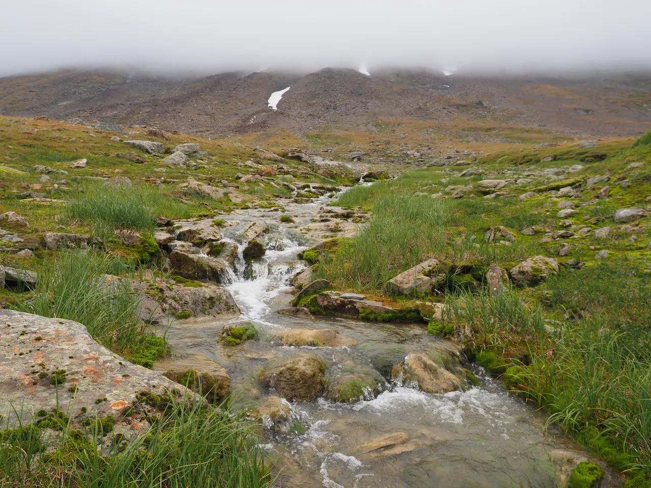
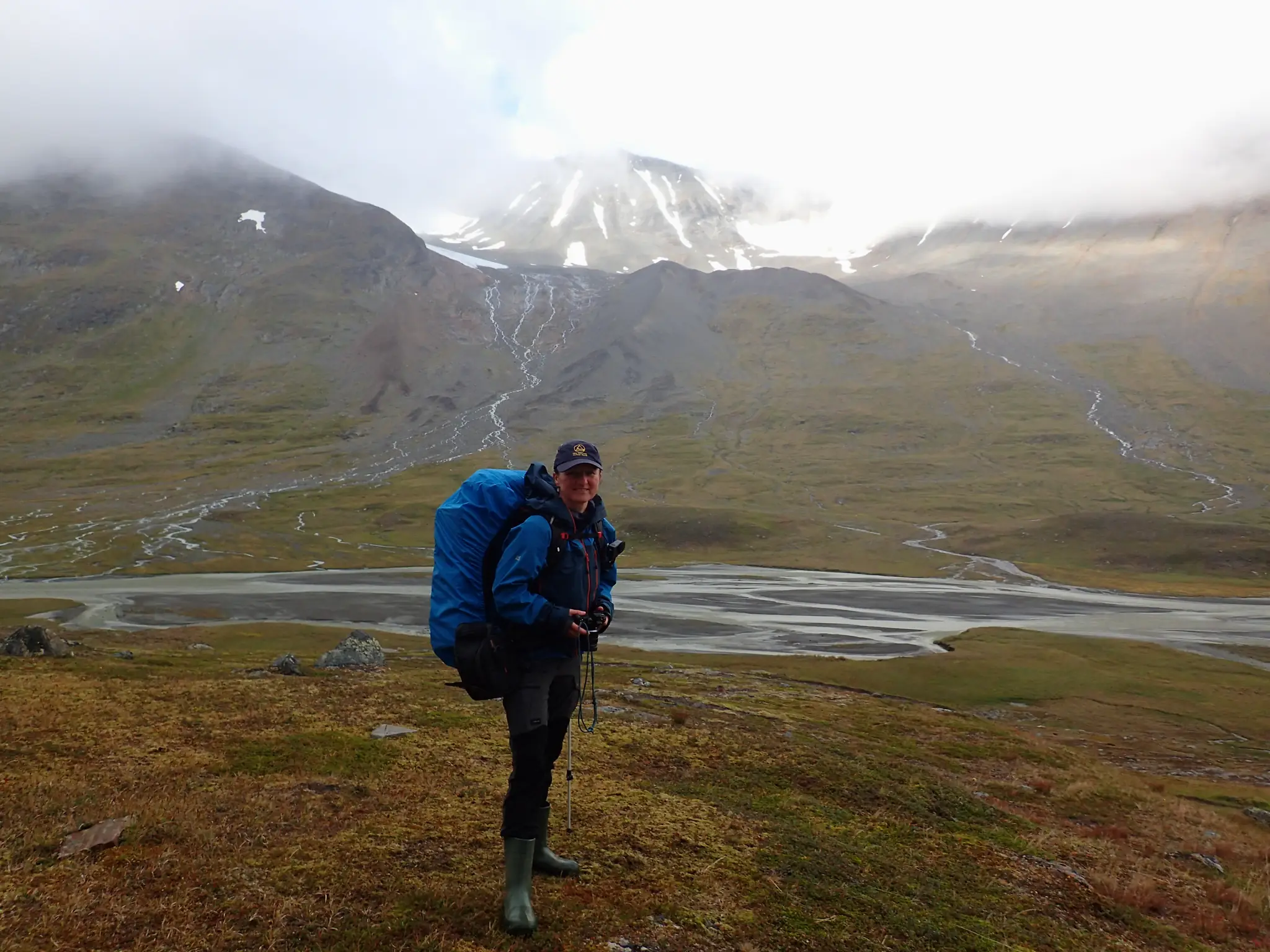
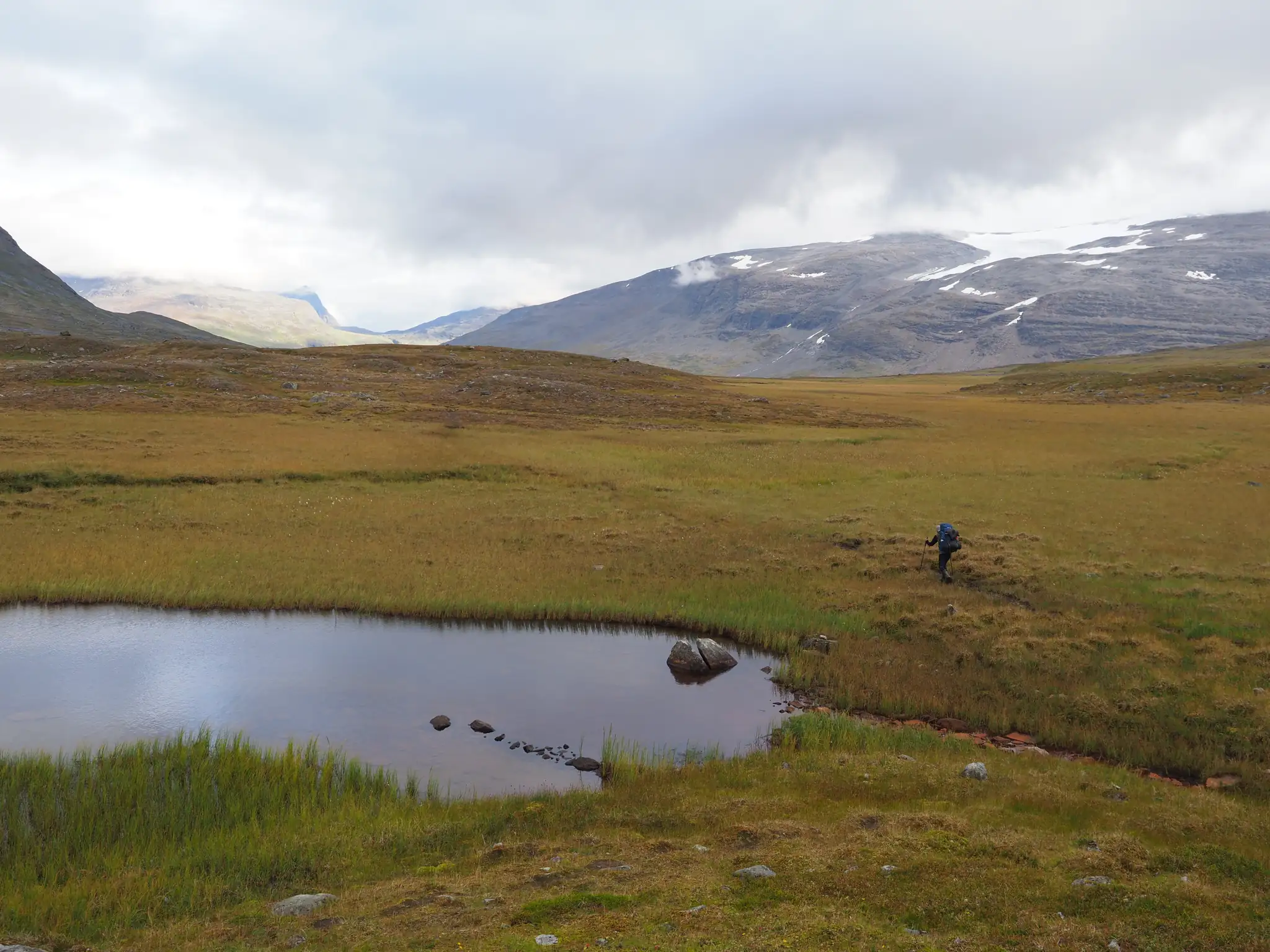
Beyond the river the peat and boulder fields returned, but the path was clearly visible. We put our little rubber boots back on, which we appreciated more with every day. A stream? We walked straight into the water. A bog? Right through the middle. No searching for stones to hop across. No more walking around floodwater and puddles. Dry, warm feet and no stops before obstacles. Gold!
Sarek or Padjelanta?
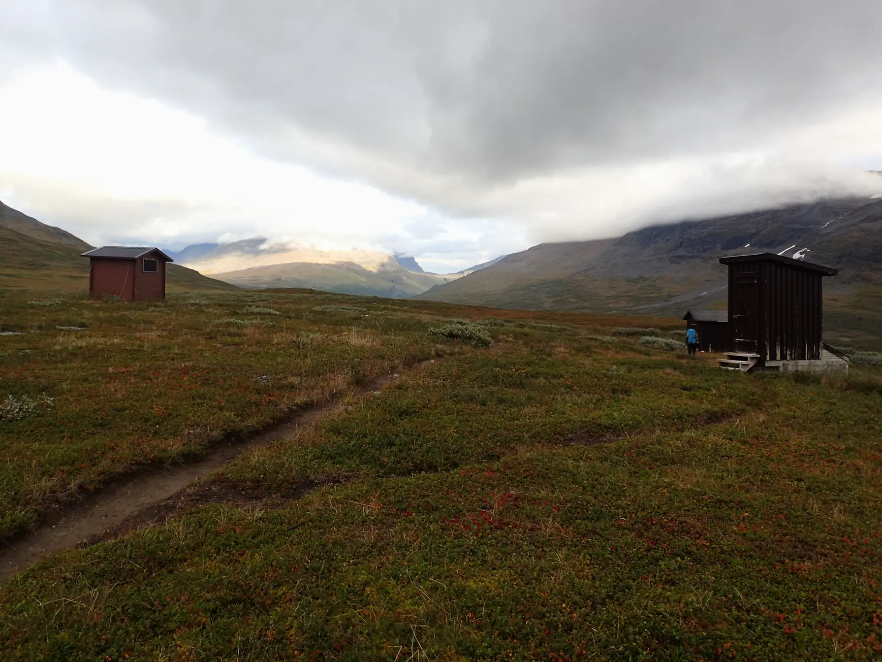
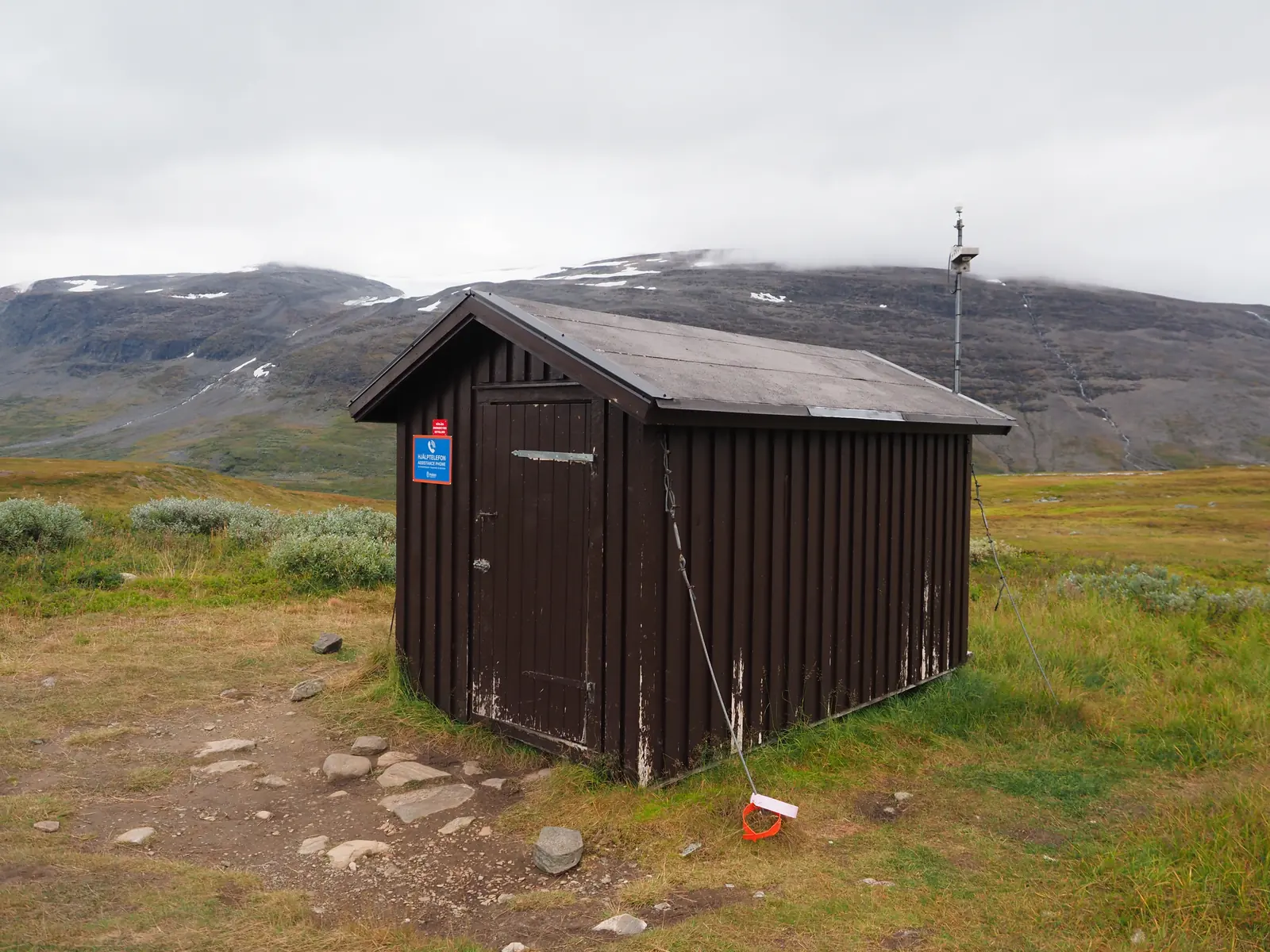
Toward evening we reached Mikkastugan. Three small buildings stood there: a wind shelter, a wooden outhouse and a storeroom. There was also an emergency phone, useful in a place without mobile coverage or internet. There is no network of mountain huts here like the one we know from Polish trails. Trekkers have to be self-sufficient.
In the shelter we found two young Germans who were walking from the opposite direction. They talked about knee-deep bogs and fighting through thick scrub. Soon it turned out, however, that they had hit such difficult terrain because they had been walking along the wrong bank of the river.
It was at Mikkastugan that we were to decide what next. We could continue the traverse of Sarek or turn west, to Padjelanta National Park, and carry on along a marked trail. Padjelanta means boardwalks, bridges and tourists. Comfortable and predictable. Sarek was wilder, more interesting and more spectacular, and few people traverse it. By choosing Padjelanta we would be trading adventure for comfort.
Only that one river spoke against Sarek. We did not know how much water the tributary was carrying, the one that had already turned back quite a few people. On one thing we agreed: we must have a plan B. If the crossing turned out to be too dangerous, we would have to retreat. Deep down, though, we hoped we would manage to cross it and carry out our wild plan.
The final decision was to be made the next morning.
Along the route
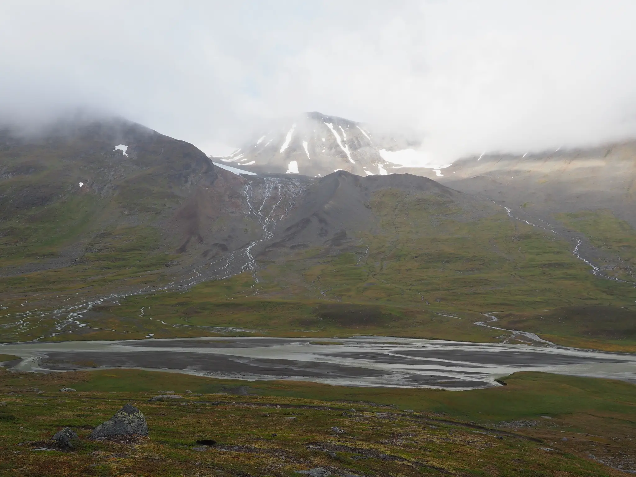
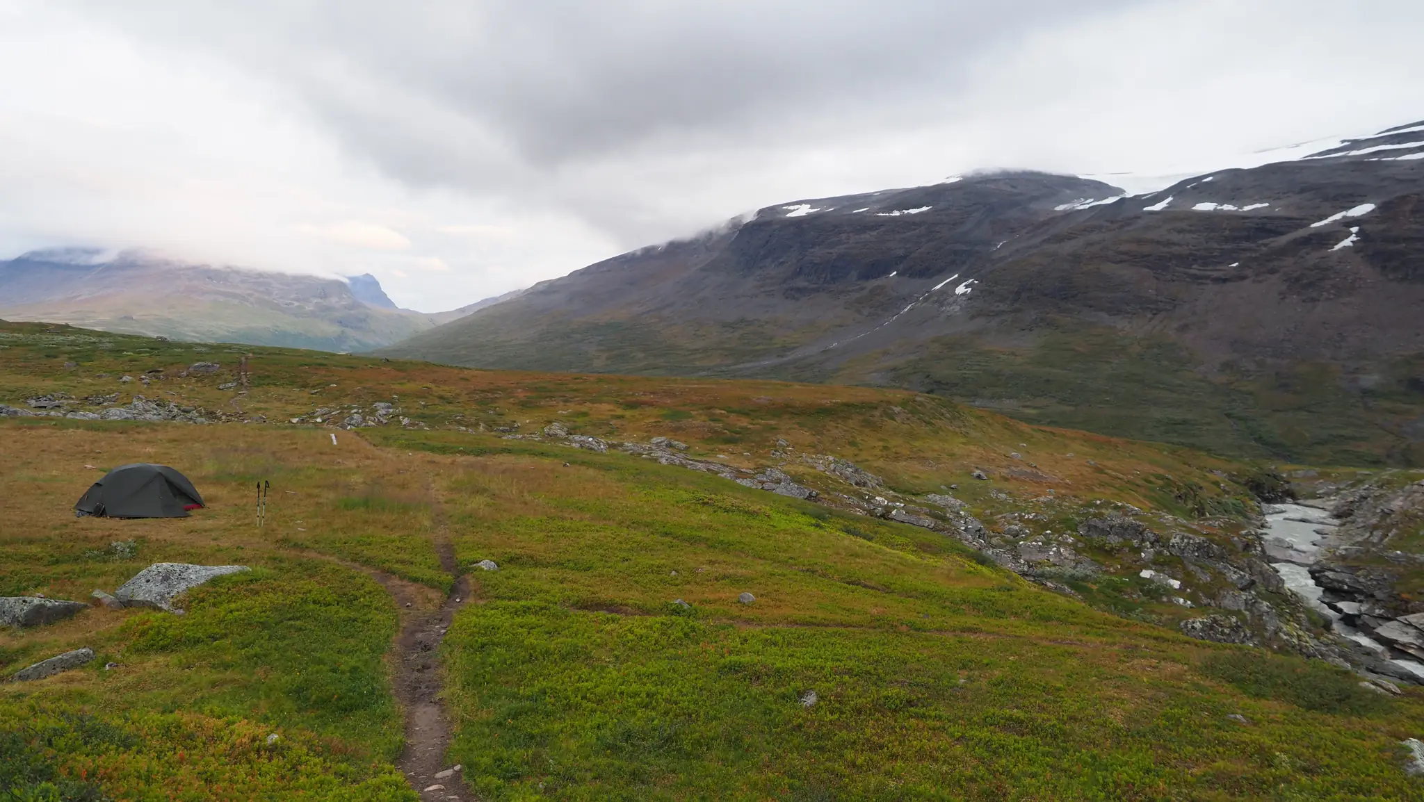
Day 4 in photographs. Select an image to enlarge it.